Back خليج نيويورك السفلي Arabic Lower New York Bay Catalan Lower Bay (luuk sa Tinipong Bansa, New Jersey) CEB Lower New York Bay German Lower New York Bay English Lower New York Bay Estonian מפרץ ניו יורק התחתון HE Lower New York Bay Italian ロウアー・ニューヨーク湾 Japanese Lower New York Bay Portuguese
| Lower New York Bay | |||
 Carte de la Lower New York Bay (en 2). | |||
| Géographie humaine | |||
|---|---|---|---|
| Pays côtiers | |||
| Subdivisions territoriales |
État de New York, New Jersey | ||
| Géographie physique | |||
| Type | Baie | ||
| Localisation | Océan Atlantique | ||
| Coordonnées | 40° 30′ 12″ nord, 74° 05′ 27″ ouest | ||
| Subdivisions | Gravesend Bay, Keyport Harbor, Raritan Bay, Sandy Hook Bay, Horseshoe Cove, Spermaceti Cove | ||
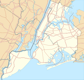
| Géolocalisation sur la carte : New York
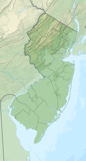
Géolocalisation sur la carte : New Jersey
| |||
| modifier |
|||
La Lower New York Bay (« baie inférieure de New York »), que l'on appelle parfois Lower New York Harbor (port inférieur de New York) désigne une partie de la baie de New York, située au sud de The Narrows, détroit situé entre Staten Island et Long Island (Brooklyn), par opposition à la Upper New York Bay (« baie supérieure de New York »).

